Last year before I left for Australia I bought a new sketchbook-journal and collaged in a few maps. As I flew higher and higher across the United States and the Pacific Ocean I wanted to be able to visualize where I was going and what I was doing and where I had come from. Maps have always been a language that I have been fascinated by and when I fly I can begin to imagine how they are made. When I think of early travelers and the maps they made it was a special skill of visualization of place and placement. I remember when I was in my thirties and navigating the intimate humid world of parenting I clung to maps as a symbol of my feeling lost. I collaged my drawings on the edges of continents and I loved the bits of ocean in different shades of blue symbolic of my being at sea in my new role as mother. In the pages of maps I found comfort when my days lacked direction. My friends began to save atlases for me and even as I have grown out of my sense of being lost or rather grown into my sense of place I have volumes of maps. These days I like the pages of indexes as backgrounds for drawings or painted pages. I like the regular patterns of names and numbers and alphabetized lists.
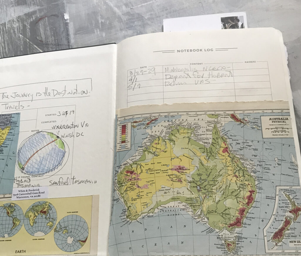
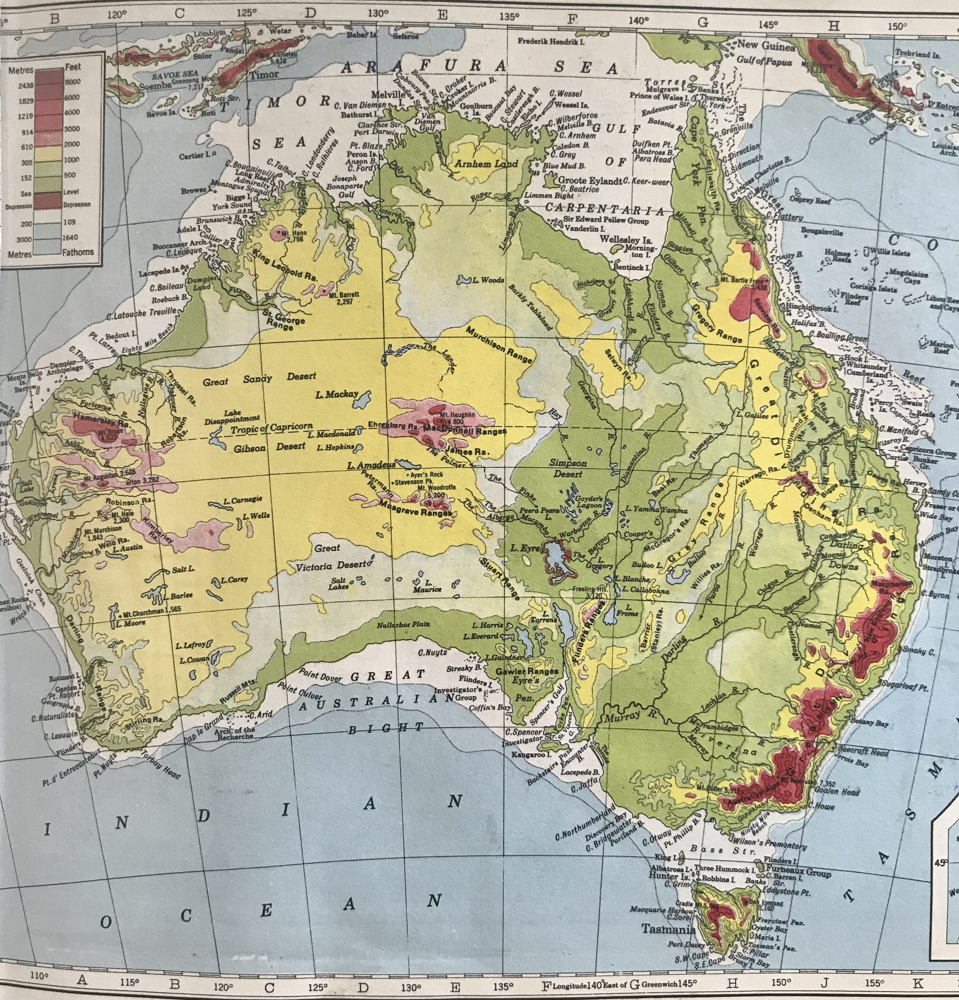
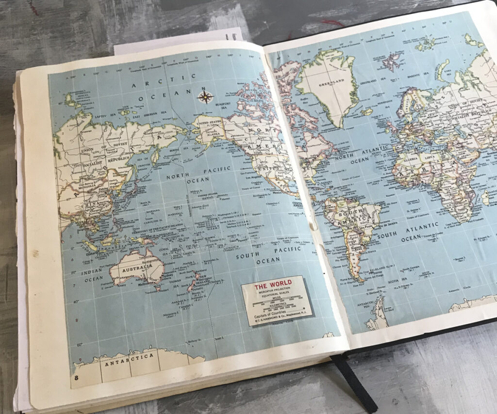
In the front pages of the journal from 2019 are bits of maps cut from a 1960’s atlas. There is the yellow outline of heart shaped Tasmania. There is a series viewing the hemispheres. Then I have a larger map from the 1940’s of Australia with the topography color coded to show altitude. These maps I hoped would be part of my attitude that the journey was the destination. The maps hold reminisces and anticipation of meeting and making—walking and talking—cooking food and digesting found ceramic materials; how we each make things and perceive the world around us.
I looked at my trip as an adventure to meet new people and make new friends. I wasn’t sure what I would get out of it in terms of my physical work. Before many trips this is what Warren often asks. “What will you get out of this and why are you going?” I always say, “I m not sure and if I knew I would not have to go.” When I look back at my book recording my travels I see that the pages are like mirrors and portals into five weeks on the other side of the world. It’s really hard in the moment of travel to know what to write, what to draw, and what to capture. Overall, one needs to figure out how to navigate. I always think that an experience is going to be obvious. It will somehow be symmetrical like the visualization of the hemisphere, but I forget about the irregularity of geology and the shapes of mountains and the paths of waterways. I forget the times one can’t sleep or one’s stomach is upset or when I am irritated by sand in my shoes.
Mapmakers had the power of naming places. And I am always impressed by Ben’s love of giving things names. Our time together last year was called Fire on the Ridge 2019. When there are visiting artists he calls it SWIPE (Slow Working Institute for Pragmatic Expressionism) and the pottery is named Ridgeline. In a way it’s branding, a term I normally hate because it makes these personal experiences feel like commercial enterprises. But in this case naming the experience gives it a different kind of power and structure.
The maps in the front of my journal are a way of visualizing three-dimensional space. By gluing them on the page I hoped it would give my travels a framework. In the book is a record of the time spent in an airplane and in a studio, homes, beaches, trails and putting wood in a kiln. But really what I am after is describing the quality of time. The morning loop walks, the talk during our the mid-morning coffee on the deck in the sun, the shared admiration for the way grub trails in a gum tree look like drawings, or loose bark strips can look like a strip tease. And in the end there is the coming home. There is the desire to feel whole in a place where I understand the inner workings. Intersections of map lines and constellations connect to this place that I call home, a place full of love. During this time of sheltering at home and letting go of plans and travels I have been grateful for my home. I may miss flying higher and higher and seeing new places, but I am reminded of my goal from when my daughter was a baby and small walks were huge triumphs. These little tiny adventures are where I learn to see with new eyes.
Leave a Reply